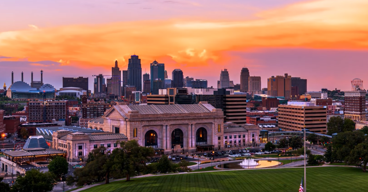
KANSAS CITY, MISSOURI — Kansas City is heading into a seven day stretch that starts quiet and bright, turns a little more unsettled by the middle of the week, and ends with a milder but wetter pattern in place.
The overall setup is a classic spring one for the metro, with cool mornings, a brief warming trend, and rain chances gradually building back in by late week.
The week opens on a calm note. Sunday brings sunshine after an early frost, with a high near 61°F, and that gives the city one of its cleanest weather days of the stretch.
Sunday night stays clear before a light southwest breeze returns after midnight. Monday stays sunny and seasonable, again topping out near 61°F, but the pattern begins to shift Monday night as clouds increase and a chance of showers moves back into the forecast.
That change is modest at first, not dramatic. Tuesday still reaches the lower 60s, and the forecast only carries a slight chance of showers before 1 p.m.
Even so, the sky looks more locked in than it does at the start of the week, and Tuesday night stays mostly cloudy with a noticeably milder low near 51°F.
That overnight jump matters because it sets the stage for the warmest part of the forecast.
By Wednesday, the week starts to lean warmer again. Mostly sunny skies and a high near 73°F bring back a more comfortable spring feel across Kansas City, and that day stands out as the best mix of warmth and relative stability in the extended outlook.
It does not stay perfectly quiet for long, though. Wednesday night introduces another chance of showers, and from there the forecast becomes more active heading toward the second half of the week.
| Day | Date | High | Low | Conditions | Rain Chance |
|---|---|---|---|---|---|
| Sunday | April 5 | 61°F | 42°F | Areas of frost early, then sunny | 0% |
| Monday | April 6 | 61°F | 37°F | Sunny and seasonable | 0% |
| Tuesday | April 7 | 62°F | 51°F | Mostly cloudy with a slight chance of showers early | 20% |
| Wednesday | April 8 | 73°F | 53°F | Mostly sunny and warmer | 0% |
| Thursday | April 9 | 71°F | 54°F | Partly sunny with a chance of showers | 50% |
| Friday | April 10 | 70°F | 53°F | Mostly cloudy with showers likely | 60% |
| Saturday | April 11 | 70°F | 53°F | Mostly cloudy with showers likely | 70% |
Thursday through Saturday is where the weather becomes less settled. Thursday brings a 50 percent chance of showers with a high near 71°F, followed by showers and thunderstorms likely Thursday night.
Friday keeps the wetter trend going with showers likely and a high near 70°F, and Saturday currently looks like the wettest day of the late week period, with showers likely and a 70 percent rain chance.
Through all of that, temperatures stay on the mild side, which means the bigger story is not a cold snap but a return to a more typical warm and somewhat damp April pattern.
What stands out most in this forecast is the way it evolves in stages. The first half of the week is brighter and steadier, with sunshine and manageable temperatures carrying much of the story.
The second half turns more unsettled, not because of a major temperature crash, but because rain chances keep stacking up while highs remain in the upper 60s to lower 70s.
That gives Kansas City a week that feels balanced between comfortable spring weather and the kind of changing conditions that are common this time of year.
For planning purposes, the easier days are Sunday, Monday, and especially Wednesday. The days to watch more closely are Thursday through Saturday, when showers and even thunderstorms become more likely.
Overall, the metro starts the week bright and cool, warms up nicely by midweek, and then heads into a wetter finish without losing the milder air.