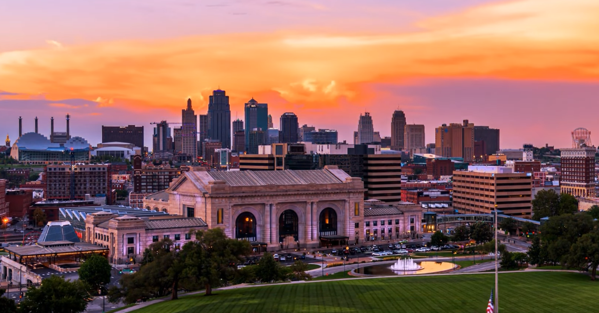
KANSAS CITY, MISSOURI — Kansas City starts Tuesday with warm air already in place, and the latest forecast points to a partly sunny afternoon that turns more active later in the day.
The National Weather Service calls for a high near 85°F, with a slight chance of showers early and a chance of showers and thunderstorms after 4 p.m. Southwesterly winds are expected to stay near 13 to 16 mph, with gusts reaching 30 mph.
The morning does not begin cool. Overnight temperatures hold around 68°F, and the day starts with mostly cloudy to partly sunny skies before clouds and instability build later on.
The forecast keeps the rain risk low early, but conditions change quickly once the afternoon moves in, with the chance of precipitation rising to 30% and thunderstorms becoming more likely late in the day.
Warm Start Before Storm Chances Increase
The setup for Tuesday is straightforward at first glance, but the details matter. Kansas City is sitting under very warm March air, and record highs are being reached in the area as temperatures rise into the mid to upper 80s.
That warmth is tied to strong warm-air advection ahead of a slow-moving cold front, which is helping keep the metro unusually mild for the end of March.
Through the day, the temperature rise is not dramatic because the city is already starting warm. Instead, the bigger change comes from what happens to the sky.
| Time | Temperature | Conditions | Wind |
|---|---|---|---|
| 12:00 AM | 68°F | Mostly Cloudy | SSW 16 mph |
| 3:00 AM | 68°F | Mostly Cloudy | SSW 16 mph |
| 6:00 AM | 69°F | Mostly Cloudy | SW 15 mph |
| 9:00 AM | 74°F | Partly Sunny | SW 14 mph |
| 12:00 PM | 80°F | Partly Sunny | SW 14 mph |
| 3:00 PM | 84°F | Partly Sunny | SW 15 mph |
| 6:00 PM | 85°F | Chance of Showers / Thunderstorms | SW 16 mph |
| 9:00 PM | 63°F | Showers and Thunderstorms | NE 10 mph |
| 11:00 PM | 56°F | Showers and Thunderstorms | NE 10 mph |
The forecast keeps the morning mostly dry, then shifts toward showers and thunderstorms later in the afternoon, making Tuesday a day that starts calm enough but does not stay that way for long.
The weather service says the cold front moving into the region will be slow to pass, which means the warm air remains in place long enough to fuel scattered storms.
The afternoon high near 85°F is a sign of how much heat has built into the region before the front gets any real traction. That also explains why the day feels more like a transition point than a stable spring forecast.
Tuesday Night Brings a Bigger Shift
The more serious weather arrives after the afternoon warmup. Tuesday night is expected to bring showers and thunderstorms before 3 a.m., followed by more showers and possible thunderstorm activity into the early morning hours.
The overnight low is forecast near 54°F, with northeast wind around 10 mph and gusts up to 20 mph. The chance of precipitation rises sharply to 90%, and the forecast calls for new rainfall amounts between a quarter and half an inch, with higher amounts possible in thunderstorms.
The larger forecast pattern is even more active. Several rounds of showers and thunderstorms are likely Tuesday evening through Saturday, and the best chance for severe weather looks to be Friday into Friday night. It also says widespread rainfall totals of 2 to 5 inches are likely, with locally higher amounts possible.
That means Tuesday is not the end of the story; it is the beginning of a wetter, more storm-prone stretch.
Kansas City’s weather today is all about the turn from record warmth into a more active storm pattern. The day starts hot, stays breezy, and then shifts toward showers and thunderstorms by evening.
By tonight, the city is already moving into a wetter stretch that could continue through the middle and end of the week.