Kansas City has spent March moving between seasons instead of settling into one. One week brought bitter cold, another brought warmth that felt closer to late spring, and the numbers show just how fast the change has been.
February finished 9.2 degrees above average, with four fewer freezing days and about six fewer inches of snow than normal, while the December-through-February period averaged around 36 degrees, making it one of the warmest winters on record in several nearby counties.
That warmer winter set the stage for a March that has not followed a smooth path. Kansas City already saw temperatures swing hard in both directions, including a stretch that went from well below freezing to the 90s in a short period of time.
One recent weather report described the metro as dealing with a shock-to-the-system kind of pattern, and that is exactly what this month has felt like for many people living through it.
Winter and spring keep trading places
The reason this pattern stands out is not just the size of the temperature changes, but how quickly they keep happening.
Warm air has moved in, cold air has returned behind fronts, and then the warmth has come back again before the region has had much time to adjust. Kansas City reached 93 degrees on March 21, which set a new March heat record for the city, and that came after colder periods earlier in the month made the warmup feel even more extreme.
The same thing has shown up in the forecast. The National Weather Service has continued to show sharp changes from one day to the next, with warm afternoons followed by much cooler nights and then another swing back toward mild or hot conditions.
The pattern is familiar for late March in the central United States, where cold fronts can still push through quickly and reset the temperature in a matter of hours.
What makes Kansas City different this year is how often the extremes have shown up back-to-back. The city has not simply had a warm spell or a cold snap. It has had both, with little space between them.
That is why the month feels unstable even when one individual day looks pleasant or calm. A warm afternoon can be followed by a freezing night, and a cold morning can be replaced by heat before the week is over.
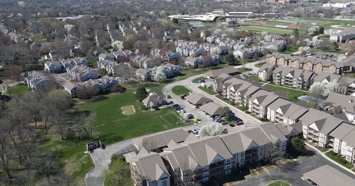
There is also a visible effect on the ground. Early blooms have started showing up, and warmer conditions have raised the chance of a longer allergy season.
At the same time, colder returns have been strong enough to cause visible damage in some places, including the kind of freeze burn that showed up on lawns after the recent whiplash.
The weather has not just been changing numbers on a forecast page. It has been changing what people see outside their homes.
Kansas City is still in the middle of that transition, and March has not given much reason to expect a clean handoff from winter to spring.
The cold has not fully gone away, even after the record heat, and the warm spells have not stayed long enough to make the season feel settled.
The best way to describe Kansas City’s March weather is, It has been a month of big temperature swings, quick reversals, and no stable pattern for long.
The warmth has been strong enough to break records, the cold has still been strong enough to freeze things again, and the result is a March that feels more dramatic than routine.