Kansas City is heading into another sharp weather change, and this one comes right after the city’s record March heat. The forecast now shows warmth building back toward 88 degrees on Wednesday and 93 degrees on Thursday, before cooler air returns on Friday.
Along with that shift, there is also a 40 percent chance of rain and storms late Thursday into Friday morning, and forecasters say parts of eastern Kansas City’s coverage area could face a level 2 out of 5 risk for strong to severe storms, with hail and damaging winds listed as the main threats.
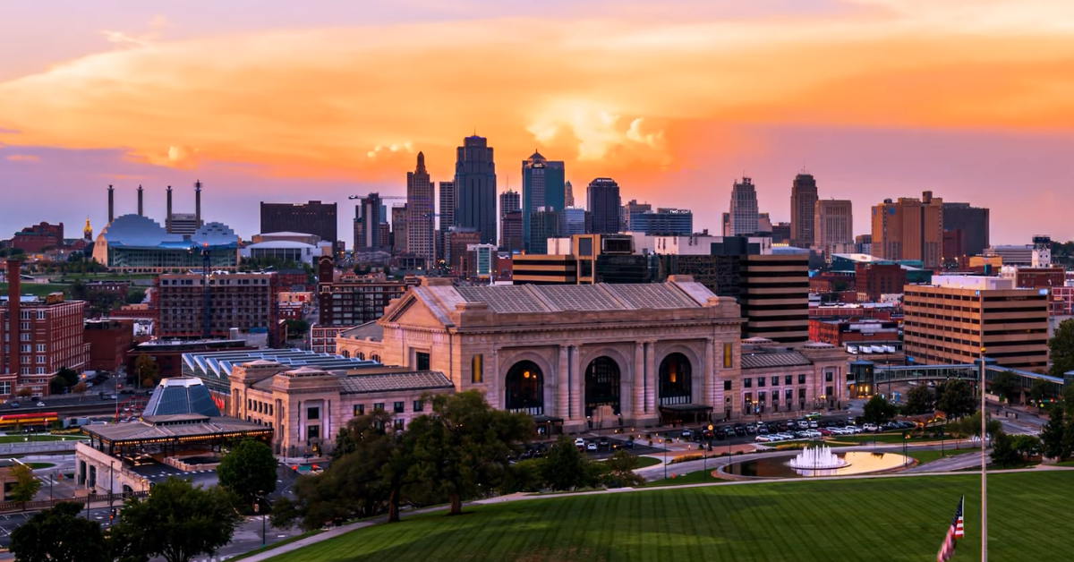
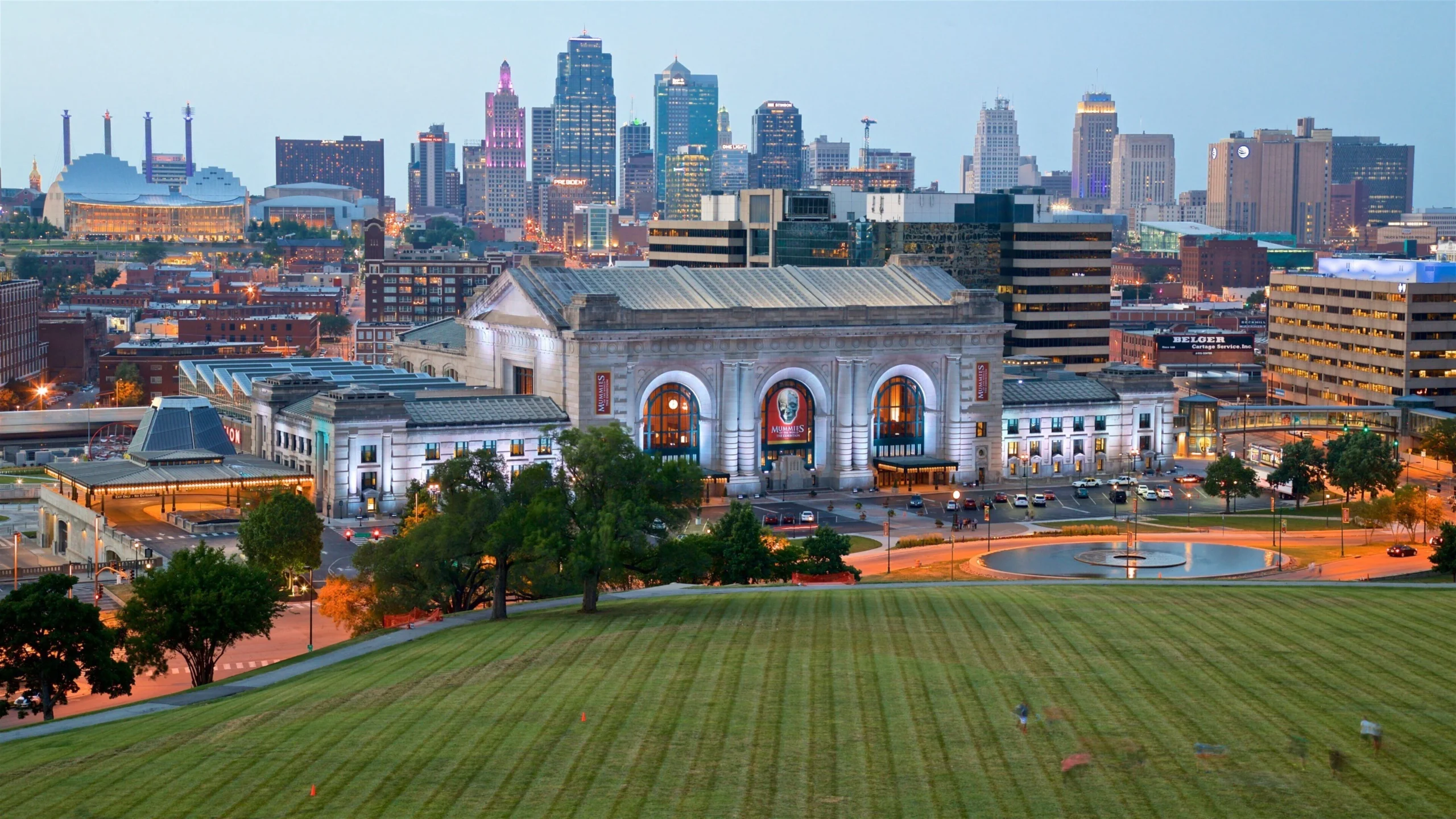
That kind of swing is exactly what makes late March weather in Kansas City so unpredictable. The city just came off a weekend that produced 93 degrees at Kansas City International Airport, which broke the long-standing March heat record, and now the pattern is shifting again fast enough to bring storms back into the conversation.
On Monday, the forecast was already cooler, with a high near 51 degrees, which shows how quickly the region can move from one extreme to another in a matter of days.
What makes this next stretch worth watching is not just the temperature change, but the setup behind it. Kansas City is moving from a very warm, spring-like pattern into a more unstable one, and that usually means the atmosphere has enough energy to support rain, wind, and sometimes stronger storms.
Forecasters have already been warning this month that the region is in a period where warm temperatures and strong fronts can combine to produce severe weather, and that is exactly the kind of pattern that tends to show up during the transition from late winter into spring.
The timing also matters because Wednesday and Thursday are expected to be unusually warm before the front arrives.
Wednesday’s forecast calls for 88 degrees, breezy conditions, and temperatures approaching an old record high, while Thursday is expected to reach 93 degrees with the possibility of heat-related strain for people doing outdoor work or strenuous activity.
That means the same stretch of weather that could bring storm risk later in the week is also likely to bring another round of near-summer heat before the cool-down arrives.
Why this matters after the record heat
This is the part of the story that makes the weather feel more connected than random. Kansas City did not just get one hot day and move on.
The city set a 119-year March heat record over the weekend, and now the forecast shows another warm surge followed by a cold front and storm potential.
That is the kind of sequence that makes residents pay attention because it affects daily plans, travel, and outdoor activity, and it also means the region could be dealing with both heat and storm hazards in the same week.
The storm risk is not being described as a major all-day disaster, but it is still enough to matter. Forecast guidance says the main concerns are hail and damaging winds, which are the kinds of hazards that can cause tree damage, power problems, and difficult driving conditions even if the storms stay brief.
For people living in the metro, that means the message is less about panic and more about staying aware, especially late Thursday into Friday morning when the front is expected to move through.
Kansas City has already seen how quickly conditions can shift this month, and the current setup follows that same pattern.
The region moved from record-breaking heat into a cooldown within days, and now another warm surge is building before a frontal system moves in.
That kind of sequence is common during late March, when warm air pushing north meets cooler systems moving across the Plains, creating the kind of instability that can lead to storms.
Additionally, approach also fits the way Kansas City weather has been behaving this month. Earlier in March, forecasters were already tracking rounds of severe weather, flooding risk, and sudden temperature changes, and the current forecast fits that same pattern of sharp swings rather than a steady spring transition.
In other words, this is not a one-off weather blip. It is part of a month that has already produced heat records, storm threats, and major temperature shifts in quick succession.
The good news is that the storm window appears limited. After the front moves through, Friday is expected to be much cooler, with a high near 55 degrees and only a chance of leftover clouds and sunshine.
That kind of cooldown is typical after a strong warm-up and frontal passage, but it still marks a clear break from the heat that dominates midweek. The bigger story is the speed of the change, not just the change itself.
Kansas City weather has been all over the place this month, and this next shift keeps that trend going. A city that just set a March heat record is now looking at another warm surge, followed by a front that could bring storms, hail, and damaging winds before cooler air settles back in.
That is why the forecast matters. It is not just about whether it rains. It is about a pattern that keeps flipping fast enough to create new risks each time it changes.