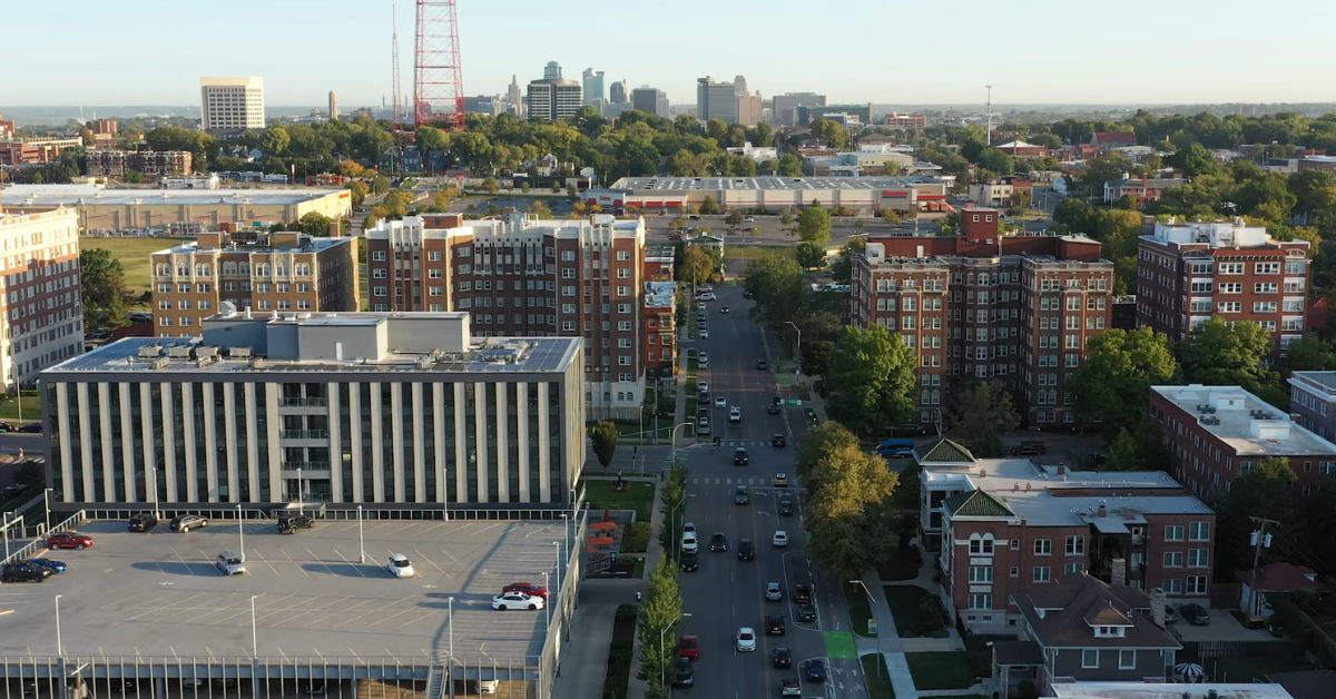
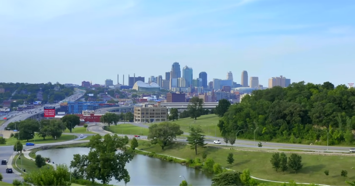
KANSAS CITY, MISSOURI — Kansas City gets a much calmer Friday after Thursday night’s storms, with early clouds giving way to sunshine, a high near 74°F, and a lighter north wind that keeps the day comfortable instead of rough.
The early morning still carries some leftover cloud cover and dampness, but the main story today is the improvement. By the afternoon, the metro should feel brighter, drier, and much easier to plan around.
The day starts on the gray side. Kansas City was sitting under cloudy skies near 59°F early Friday, which fits the leftover feel after the overnight rain and storm activity.
But this is not expected to stay locked in as a cloudy or wet day. The morning should gradually shake off that heavier look, and once the sun gets more room, the whole forecast turns much cleaner.
What makes Friday different from Thursday is the lack of weather tension.
There is no big warmup feeding a late severe storm setup today, and there is no all day rain pattern trying to hold over the city.
Instead, Kansas City moves into a quieter spring setup with dry air, more sunshine, and a temperature that lands in a very comfortable range for late April.
The wind is also easier to handle. Instead of the gustier south wind that helped fuel Thursday’s unsettled feel, Friday brings north wind around 8 mph during the day.
| Time | Temperature | Conditions | Wind |
|---|---|---|---|
| 12:00 AM | 58°F | Showers Ending | NNW 7 mph |
| 3:00 AM | 56°F | Mostly Cloudy | N 7 mph |
| 6:00 AM | 55°F | Cloudy | N 8 mph |
| 9:00 AM | 60°F | Partly Sunny | N 8 mph |
| 12:00 PM | 68°F | Sunny | N 8 mph |
| 3:00 PM | 74°F | Sunny | N 8 mph |
| 6:00 PM | 71°F | Sunny | NE 7 mph |
| 9:00 PM | 60°F | Clear | E 6 mph |
| 11:00 PM | 55°F | Clear | E 6 mph |
That keeps the air fresh without making it feel harsh. It also helps the city feel less humid after the stormy stretch, which is why the afternoon should feel cleaner even with temperatures still climbing into the 70s.
Read More: Kansas City 7-Day Weather Forecast (April 19–April 25, 2026): Sunny Weekend, Warm Midweek, and Storm Chances Returning LateFriday Clears Out After a Stormy Night
The best part of the day should come from late morning through the afternoon. Temperatures climb out of the upper 50s and low 60s, then push into the low to mid 70s as the sky turns sunnier.
This is not a hot day, but it is warm enough to feel comfortable, especially compared with the stormy and unsettled weather that moved through before it.
The early damp feel may still be noticeable in parts of the metro, especially after overnight rain and flood concerns in the region.
But once Friday gets moving, the setup becomes a lot more usable. Roads and low lying areas may still need attention early where water collected, but the weather overhead is trending in the right direction.
By evening, Kansas City stays quiet. The sky turns clear, temperatures ease back through the 60s, and Friday night drops near 50°F with a light east wind.
That gives the city a clean finish to the day and a much better setup heading into Saturday, when sunshine and high clouds return before rain chances creep back later in the weekend.
Overall, Kansas City’s weather today is sunny, less humid, and much calmer, with a cloudy start giving way to a comfortable afternoon near 74°F.
After a louder and wetter night, Friday feels like a reset day for the metro.
Read More: Kansas City April 2026 Weather Forecast and Outlook: Warm Spells, Repeated Rain Chances, and a Wide Temperature Range Across the Metro