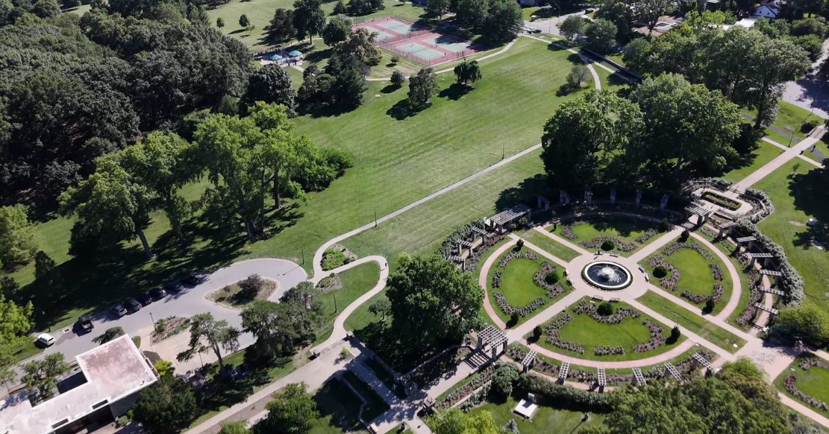

KANSAS CITY, MISSOURI — Kansas City heads into Tuesday with very warm air already in place, a high near 80°F, and a steady south southwest wind that keeps the day feeling active from the start.
Early this morning, Kansas City Downtown Airport was sitting at 60°F under fair skies, with southwest wind gusting as high as 28 mph, which tells you right away this is not one of those slow, chilly spring starts.
The day looks simple in the best way. Kansas City starts with a mix of clouds and breaks of sun, then trends brighter as the afternoon moves in.
The latest forecast keeps Tuesday partly sunny, then gradually sunny, with a high around 80°F and south southwest wind around 14 to 16 mph, with gusts up to 30 mph.
That puts the metro in a much warmer and breezier pattern than a typical calm April day.
Read More: Kansas City 7-Day Weather Forecast (April 19–April 25, 2026): Sunny Weekend, Warm Midweek, and Storm Chances Returning LateMorning starts mild before the warmer air takes over
The biggest thing about the morning is that it never really feels cool. The city is already starting around the upper 50s to near 60, and that changes the whole tone of the forecast.
Instead of warming from cold to comfortable, Kansas City moves from mild to genuinely warm pretty quickly once the sun gets higher.
Even with a few clouds around early, the air already feels soft enough that the day does not need much time to turn more spring like.
| Time | Temperature | Conditions | Wind |
|---|---|---|---|
| 12:00 AM | 58°F | Partly Cloudy | SSW 12 mph |
| 3:00 AM | 60°F | Fair | SW 14 mph |
| 6:00 AM | 59°F | Partly Sunny | SSW 13 mph |
| 9:00 AM | 65°F | Partly Sunny | SSW 14 mph |
| 12:00 PM | 74°F | Mostly Sunny | SSW 15 mph |
| 3:00 PM | 80°F | Sunny | SSW 16 mph |
| 6:00 PM | 78°F | Sunny | SSW 15 mph |
| 9:00 PM | 69°F | Clear | SSW 13 mph |
| 11:00 PM | 63°F | Partly Cloudy | SSW 12 mph |
That also means the jacket weather does not last long. By late morning, Kansas City should already be pushing well into the 60s and heading toward the 70s, and once the sky opens up more, the warmth becomes much easier to notice.
The wind adds some movement to the forecast, but it does not take away from the overall feel. This is still a warm day first and a breezy day second.
Read More: Complete Guide to Kansas City Weather: All Season and Monthly DataAfternoon turns sunnier and pushes close to 80
By afternoon, the city settles into the warmest part of the day, with temperatures rising to around 80°F under a sunnier sky. That is what makes Tuesday stand out.
Kansas City is not dealing with rain chances, storm timing, or a messy setup that changes every few hours. It is mostly about warmth, brighter skies later on, and a steady breeze that keeps the air from feeling still.
The wind does stay noticeable through the afternoon and evening, and gusts near 30 mph can make the day feel a little more energetic than the quiet weather might suggest.
But unlike some of the rougher spring setups the metro has seen lately, there is no major weather problem attached to it.
Tuesday is more of a clean warmup day than anything else. Kansas City gets a bright, dry afternoon and holds onto that milder pattern through sunset.
Tonight stays fairly comfortable too. The forecast keeps partly cloudy skies with a low around 58°F, and the south southwest breeze remains in place overnight, though it eases a bit from the daytime peak. So even after dark, the city does not cool off sharply.
That helps keep the overall feel of Tuesday on the warmer side from beginning to end.
Read More: Kansas City April 2026 Weather Forecast and Outlook: Warm Spells, Repeated Rain Chances, and a Wide Temperature Range Across the Metro