
Kansas City, MO — Kansas City gets a warmer and more unsettled Saturday, with mostly cloudy skies, a high near 75°F, and showers and thunderstorms likely through part of the day, especially before early afternoon.
The day does not look like a total washout, but it is also not one of those easy spring days that stays clean from start to finish. Instead, this one comes with a mixed setup of warmth, clouds, wind, and on and off storm chances that keep the forecast feeling a little unsettled from morning into the night.
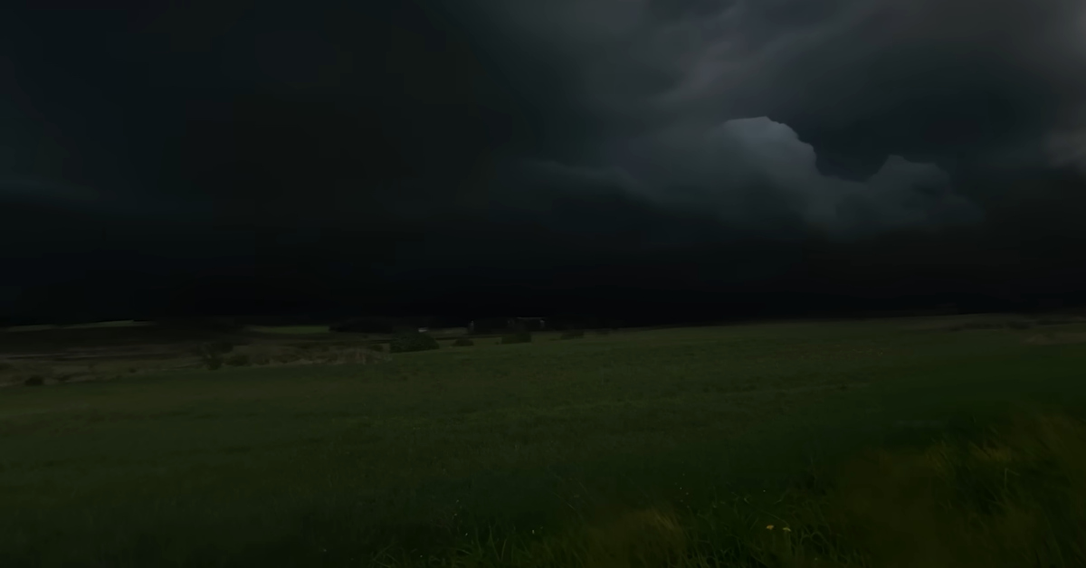
The biggest thing to know about Saturday is that it starts with weather already in motion.
The Weather forecast for Kansas City calls suggests showers and thunderstorms likely, mainly before 1 p.m., with mostly cloudy skies and south southeast wind around 6 to 11 mph, plus gusts as high as 22 mph.
That means the first half of the day is where the weather has the most to say, especially compared with the second half, which looks quieter even if the sky never really clears out.
Even with the storm chance around, the air itself is warm. Kansas City wakes up nowhere near the chillier readings from earlier in the week, and that warmer start helps the city climb into the mid 70s by afternoon. That is what gives Saturday its strange feel.
It is a warm day, but not a settled one. The temperature says spring, but the clouds and storm risk keep the day from feeling relaxed or bright.
The morning is likely to be the rougher stretch. If you are heading out early, that is the part of the day most likely to come with rain and thunder nearby.
By afternoon, the forecast trends less active, but not especially sunny. The sky stays mostly cloudy, and the breeze keeps the air moving enough that the day never really turns still.
So while conditions may improve compared with the morning, Saturday still carries that in between feeling where the weather never completely settles down.
Read More: Kansas City April 2026 Weather Forecast and Outlook: Warm Spells, Repeated Rain Chances, and a Wide Temperature Range Across the MetroThat matters because this is not just a warm day. It is also a transition kind of day. Saturday night keeps a chance of showers and thunderstorms after 1 a.m., with a low around 63°F and south winds picking up a little more. So even once the daytime activity eases back, the more unsettled pattern does not disappear. It just takes a step back before trying again later.
| Time | Temperature | Conditions | Wind |
|---|---|---|---|
| 12:00 AM | 56°F | Mostly Cloudy | S 9 mph |
| 3:00 AM | 55°F | Cloudy | SE 8 mph |
| 6:00 AM | 55°F | Showers / Thunderstorms | E 6 mph |
| 9:00 AM | 61°F | Showers Likely | SSE 8 mph |
| 12:00 PM | 69°F | Mostly Cloudy | SSE 10 mph |
| 3:00 PM | 75°F | Mostly Cloudy | S 11 mph |
| 6:00 PM | 73°F | Mostly Cloudy | S 10 mph |
| 9:00 PM | 68°F | Mostly Cloudy | S 10 mph |
| 11:00 PM | 66°F | Cloudy | S 11 mph |
The table above follows the day’s forecast trend, with the best chance for showers and thunderstorms earlier in the day, then a warmer but still mostly cloudy afternoon.
Today’s Kansas City’s weather today is warm, breezy, and somewhat unsettled, with storms more likely earlier and a calmer but still cloudy second half of the day.
It is the kind of Saturday where you can still do things, but you probably keep an eye on the sky while doing them.
Read More: Complete Guide to Kansas City Weather: All Season and Monthly Data